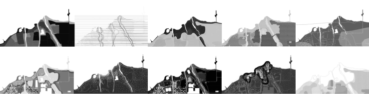
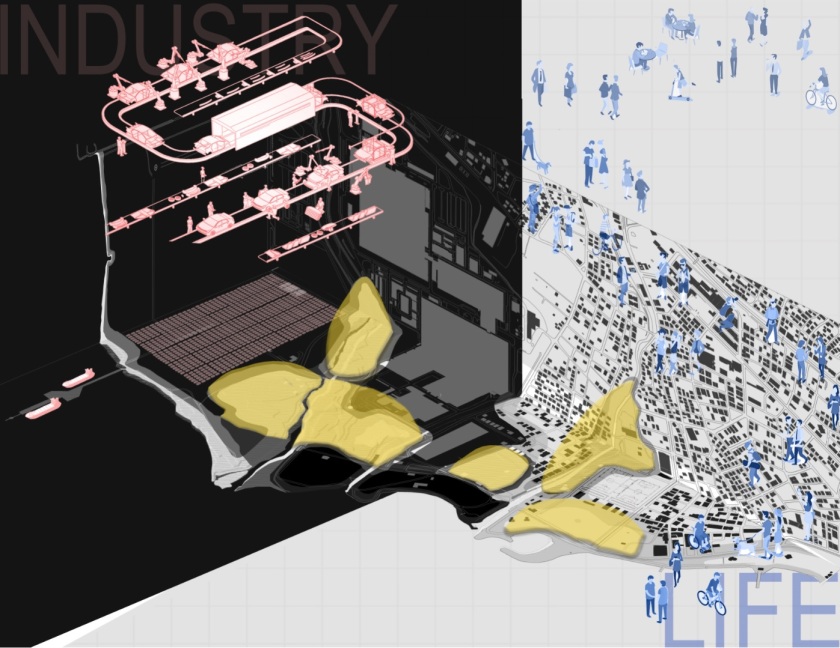
We were expected to represent our ideas and approaches towards the site by visualizing it with a collage. The collage should include natural and artificial contextual elements and fields.
I produced a collage that shows the in-between condition of the site. Our site acts as a buffer between the sea and occupied areas and also between industrial formations and residential formation forces. The yellow ones demonstrate the voids which act as buffers that we analyzed in the previous mapping of the context assignment.
As a group, we define buffer as any intermediate or intervening field reducing the danger of interaction between two contravening contexts.
My critics are mainly about the representation of voids. So, I will revise this collage according to the critics and I will update it later.